


National Parks in South Korea: 6 I’ve Actually Hiked (and 17 More on to Explore)
It was a soggy 3am start up Jirisan, South Korea’s first national park, on a hike that had no business turning into anything special. We climbed through pitch black, then mist, then more mist, legs already complaining before the sun even came up.
At some point the sun started coming up behind all that fog, and the trail took on this eerie, magical look. I pulled up my camera to catch it, only to realize my SD card was still sitting in my laptop, back on the bus. I spent a solid ten seconds seriously considering hiking back down a few miles to grab it and running back up before anyone noticed I was gone. Then I laughed at how absurd that idea was and kept climbing. I’d just have to deal with it.
Then, somewhere past 1,500 meters, we broke through the clouds.
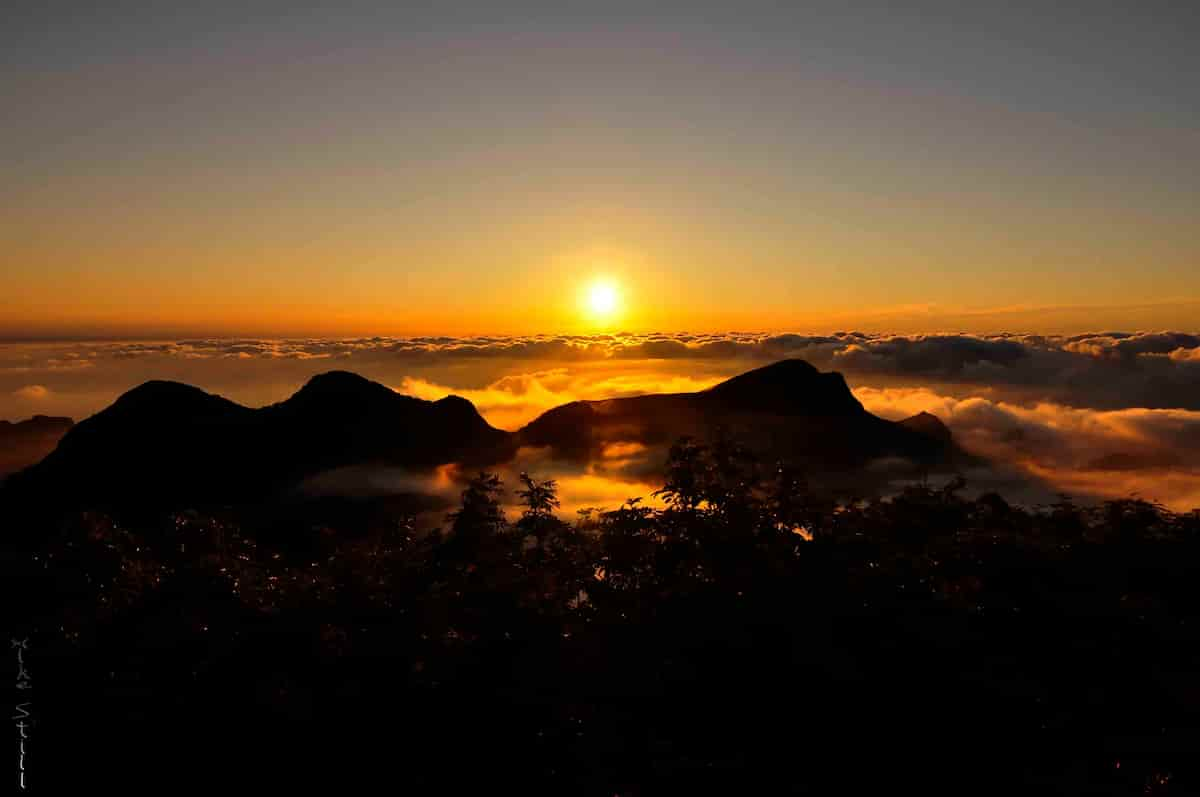
Blue sky. Actual, blinding blue sky, the kind Korea doesn’t hand out for free once you factor in the haze that usually sits over the peninsula. Below us, a sea of clouds rolled and curled like slow ocean swells, closer to what you’d see out an airplane window than anything I’d ever stood on solid ground and watched. I’ve hiked a lot of mountains in Korea. I’ve never seen anything quite like that before or since.
I don’t have a single decent photo of it. You’ll just have to take my word for it.
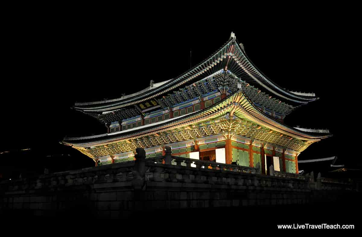 |  |
I’m telling you that story first because it’s basically the whole reason this post exists. Some of the best things I saw in Korea’s national parks never made it into a folder on my hard drive. They just live in my head, so the only way to actually share them is to write them down, park by park, the same thing I’ve been doing since I first climbed onto a Seoul Hiking Group bus over a decade ago.
I lived in Seoul for three and a half years, and somewhere in there I logged well over 100 days on Korean trails. Some solo, most with strangers who turned into friends through groups like Seoul Hiking Group and Bangawoyo Tours. I led a handful of those hikes myself. If you climbed with me back then, hi. I hope you’re doing well, and I hope this brings back a memory or two.
South Korea has 23 national parks: 22 managed by the Korea National Park Service, plus Hallasan National Park on Jeju, which is managed separately by Jeju Special Self-Governing Province. In three and a half years, I made it to six of them. This is my honest rundown of national parks in South Korea: the ones I hiked and fell hard for, a few I never managed to fit in, and the rest of the list for anyone doing the research I wish I’d had before I left.
This isn’t a guide to every trail in every park. It’s a record of the six I actually hiked, the five I still want to tackle, and a complete list of the rest so you don’t have to piece the whole thing together yourself.
One quick thing before we get into it: in Korean, 산 (san) means mountain, while 도 (do) can mean island or province depending on the name. So Jirisan is “Jiri Mountain,” while Ulleungdo is “Ulleung Island.” Once you know that, half of Korea’s park names basically tell you what you’re getting into before you even open the map.
My Favorites
If you only have time for two national parks in South Korea, these are the two I’d send you to first.
Seoraksan National Park
Seoraksan sits on Korea’s east coast near Sokcho, about a 3-hour bus ride from Seoul. Its 1,708-meter Daecheongbong is South Korea’s third-highest summit, after Hallasan and Jirisan. Find the main entrance on Google Maps.
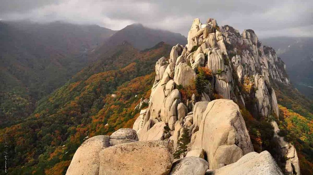
The name means “Snow Rock Mountain.” It’s capped in white from late fall through early spring, even though it isn’t a true snow peak year-round.
I came out to Seoraksan a few times a year, first alone, then with Seoul Hiking Group and Bangawoyo Tours once I found them. I said it plainly in my cable car post: Seoraksan National Park is my favorite in South Korea, full stop. The cable car up to Gwongeumseong Fortress sells out fast, so run for the ticket booth the second you’re through the gate. Ulsanbawi is the hike I recommend most: 888 stairs straight up, no way to get lost, and a payoff view of the East Sea.
My favorite day in the park is actually the one I swore I’d never repeat. Dinosaur Ridge, Gongryong Ridge to locals, is a 20km, 15-hour slog with over 10,000 feet of elevation change and no water source anywhere on the trail. I finished the first one certain I’d never do it again, then somehow found myself booking another trip back. And another. I’ve hiked it three times now. A reader once called it “the point of no return” in the comments, and that’s about right.
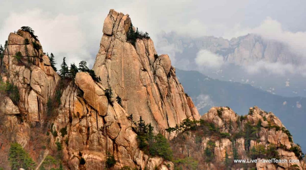
One of my other favorite days there was with three German hikers and a Finn I’d just met, chasing fall colors up Ulsanbawi, over on the cable car, and down through the Cheonbuldong Valley to Biryeong and Yukdam waterfalls.
I’ll also cop to something a reader once called me out on: everything I’ve written about Seoraksan covers outer Seorak only. Inner Seorak is still sitting on my list. My Korean wasn’t good enough at the time to navigate deeper into the park with confidence, and I’d love to go back and fix that someday.
Bukhansan National Park
Bukhansan is Seoul’s own national park, straddling the city’s northern edge and reachable by subway. Yes, you can take the subway to a national park! No bus, no overnight trip required, which makes it the easiest national park near Seoul to just show up to on a weekend morning.
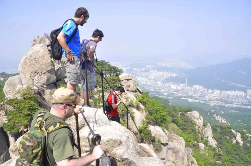
The name means “Mountain North of the Han River,” marking the old northern boundary of Seoul. It’s also historically known as Samgaksan, “Three-Horned Mountain,” after its three main peaks (Baegundae, Insubong, and Mangyeongdae), and there’s still a local push to bring that older name back.
Dobongsan, reachable straight off Dobongsan Station, was my go-to. If I had a random day off with nothing planned, you could bet I was on the subway heading there solo. One Christmas, with no family in Korea and only a small dinner with friends planned for that evening, I realized I just needed to get into nature for a few hours. I spent the whole day up there by myself. The summit was completely empty on that icy day, and I must have taken a few hundred photos with no one else around to get in the shot.

Baegundae, the park’s highest peak, is reachable from Gupabal Station instead, and I only made it up there once, but it was a great hike. I’d skipped Mudfest that year specifically to stay healthy before a trip to Vietnam, ended up leading the hike instead, and got lost finding the right trailhead since there’s more than one entrance and they lead to wildly different hike lengths. We stumbled on a quiet roadside “temple” that turned out to be more of a simple home with two friendly mountain dogs, then stopped at a trailside noodle stall for guksoo and some of the best kimchi I’ve had anywhere in Korea. At the summit there’s a flag everyone lines up to take a photo with, and Koreans kept waving us foreigners to the front of the line.
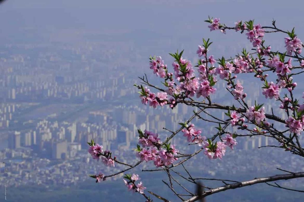

I can’t tell you how many times I climbed Bukhansan over those years. Dozens, easily. It’s the mountain I saw in every season without ever meaning to.
The Rest of the Places I Called My Own
Jirisan National Park
Jirisan is Korea’s first national park and its largest, stretching across three provinces in the south. Cheonwangbong, its main peak, is the second-highest point on the Korean mainland after Hallasan. Find the Jungsan-ri entrance on Google Maps.

The name roughly translates to “mountain of the odd and wise people,” and it’s considered one of Korea’s three sacred mountains alongside Hallasan and Geumgangsan.
The sea-of-clouds hike I opened this post with is one leg of a three-part trip I did with Seoul Hiking Group: an overnight bus, a climb in headlamps, and a helicopter rescue for a Korean hiker who’d sprained his ankle on the way down. A stray black dog joined us for hours and somehow beat me to the summit. There was cell signal at the top, so naturally I used it to Skype my parents from above the clouds. All told it was around 2,600 meters of elevation change over roughly 12 kilometers, and by the time we hit the valley floor I’d written, in the descent post, that “Jirisan, you were a bitch to climb but the natural beauty you showed me made it all worth it.” Still true.


Juwangsan National Park
Juwangsan is tucked into Gyeongsangbuk-do, far enough off the usual tourist path that it’s one of Korea’s least-visited national parks. Find the entrance on Google Maps.
The name means “Mountain of King Ju.” Legend has it a rebel Chinese prince fled here after a failed coup against a Tang emperor and was eventually hunted down and killed in these valleys.
I got there on a midnight bus with Seoul Hiking Group, arriving at Lake Jusanji under a nearly full moon with mist gliding over the water. Partway through the hike, someone in our group startled a swimming snake, and a GoPro on a selfie stick kept accidentally steering it toward the rest of us. I called Juwangsan the emptiest national park I’d been to in Korea, and I meant it as a compliment. After the crowds at Seoraksan and Bukhansan, having a granite canyon and a waterfall almost entirely to ourselves felt like a different country.

Gyeongju (Namsan)
Gyeongju isn’t a single mountain park at all. It’s Korea’s only historical national park, spread across multiple districts around the former Silla capital. Find the Samneung trailhead on Google Maps.
[PHOTO PLACEHOLDER: Gyeongju/Namsan — still need to source. See note below.]
I didn’t even realize Gyeongju National Park counted as a national park until I started researching this post, which tells you something about how differently it’s marketed compared to Korea’s mountain parks.
I went there twice with Seoul Hiking Group, once staying in Yangdong, a traditional hanok village, before hiking Namsan the next morning. The trail passes three royal burial mounds early on, then an intricately carved Buddhist rock relief that’s hundreds of years old. I fell behind the whole group taking pictures and eventually found everyone relaxing on a ledge deep in conversation about, in my own words at the time, “life, the universe and everything.” We finished with makkeoli at the summit and an afternoon of biking through town. The temple carvings here felt different from anything I’d seen elsewhere in Korea. Bulguksa’s colorful paintwork is gorgeous in its own right, but the Buddha carvings on Namsan, cut directly into the mountain’s granite, are unlike anything else I saw in the country.
Taebaeksan National Park
Taebaeksan is one of Korea’s highest and most remote national parks, deep enough in Gangwon-do that it took our bus 3.5 hours from Seoul just to reach the trailhead. Find the entrance on Google Maps.
[PHOTO PLACEHOLDER: Taebaeksan — still need to source. See note below.]
The name means “Great White Mountain,” and it’s tied to the founding myth of Dangun, the legendary first king of Korea.
This was my first real snow hike in Korea, a proper winter sunrise trip with Seoul Hiking Group. We put crampons on almost immediately and started sweating through the climb despite the cold, then had to bundle back up again as we got higher and the temperature dropped. Clouds hid the sunrise completely once we reached the summit at Janggunbong, home to an altar called Cheonjedan, the “altar of heavenly fires.” We waited in the cold longer than felt reasonable until a sudden 30-minute break in the clouds gave us a glimpse worth every “holy shit” I said out loud.
The real highlight came on the way down. A group of locals was sliding down the trail on flattened rice bags, and one of the ajeossis handed me his without a word. Sledding down a Korean mountain on a rice sack turned into one of the most purely fun things I did the entire time I lived there. I ended the day the way most good Korean hikes end: kimchi jjigae, a jjimjilbang, and a few hours wandering the town’s winter festival.
Bonus: Ulleungdo, the Island That Isn’t Technically a Park
Ulleungdo isn’t one of Korea’s 23 official national parks. It’s a county and geopark designation. I’m including it anyway because it produced some of my favorite photos and stories from all of Korea. Find the Dodong Port ferry terminal on Google Maps.
The name likely comes from hanja meaning something like “densely wooded hill island,” which tracks with how volcanic and overgrown the place feels.
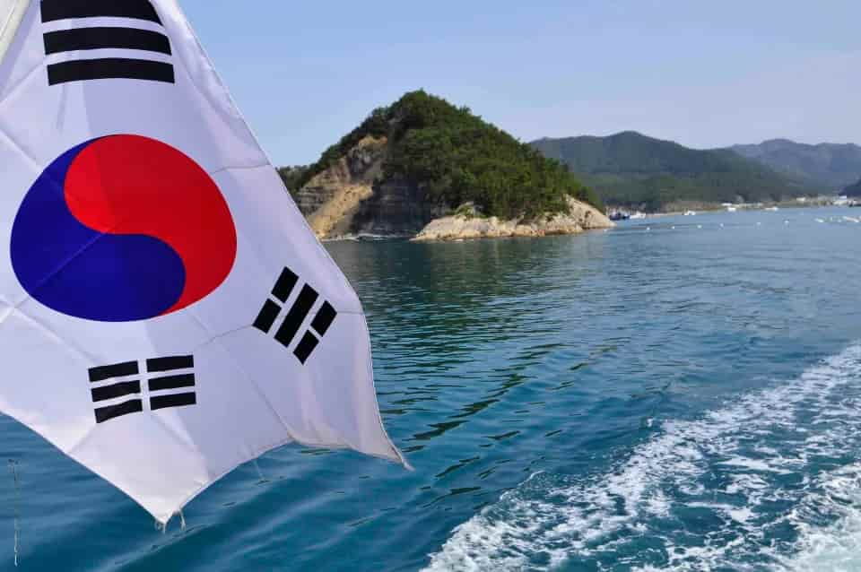
I got there on a Seoul Hiking Group trip, taking a choppy 3-hour ferry from Donghae that was rough enough to turn stomachs, right up until a half-dozen dolphins showed up alongside the boat. Highlights on land: pumpkin makkeoli, a seaside boardwalk between Dodong and Jeodong, and a harder-than-expected scramble up Seonginbong (986m) for what I called at the time “what might be my new favorite view.” I joked I’d need to ask a local cabbie for the “secret entrance” next time. Day two was a bus tour past a cable car, an underwater observatory, volcanic caldera farmland, and a pumpkin candy shop handing out free samples.
 |  |  |

Parks Still On My List
I never made it to these five, mostly because the logistics never quite lined up, but they were on my radar the whole time I lived in Korea, usually because of a photo I saw somewhere that I couldn’t stop thinking about.
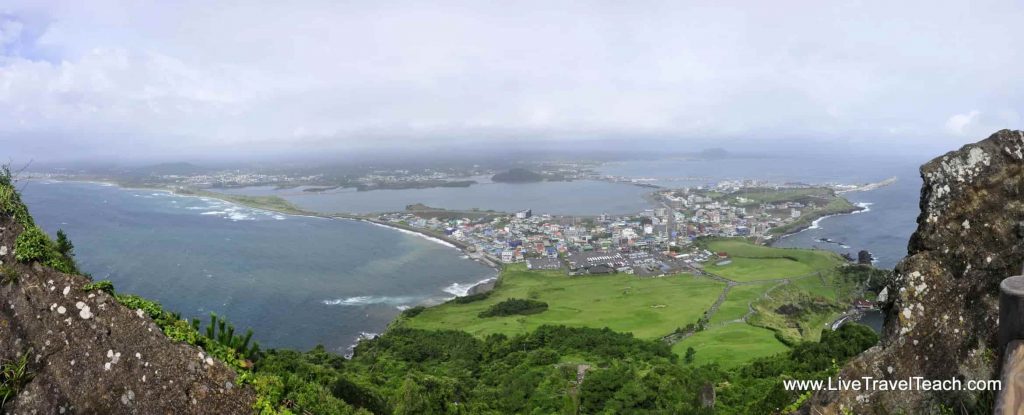
Hallasan National Park, on Jeju Island, is South Korea’s highest peak at 1,950 meters, with a crater lake called Baengnokdam at the summit. Find the Seongpanak trailhead on Google Maps. I got close on a Jeju trip once. We’d planned a stop at the trailhead, but stormy weather rolled in and the whole thing got diverted before I ever laced up my boots. Hallasan’s still sitting at the top of my list, mostly out of spite at this point.
Odaesan (map) means “Five Platforms Mountain,” named for the five peaks that, in Buddhist tradition, each seat one of five cosmic Buddhas. It’s home to Woljeongsa Temple and some of the largest old-growth forest left in Korea.
Songnisan (map) translates to “Mountain Remote from the Ordinary World.” Its main draw is Beopjusa Temple, a UNESCO World Heritage site since 2018 and home to Korea’s tallest free-standing Buddha statue.
Naejangsan (map) means roughly “mountain hiding treasures within.” It’s one of Korea’s most famous fall-foliage destinations, often mentioned alongside Seoraksan and Bukhansan.
Deogyusan (map) means “Mountain of Virtue and Abundance,” and locals call it a generous mother mountain. It’s also home to Muju Deogyusan Resort, one of Korea’s main ski areas, making it a rare national park where the winter sports are as much the draw as the hiking.
The Rest of Korea’s National Parks
For the sake of a complete list, here are the remaining official parks in the Korea National Park Service system that I haven’t covered above: Gyeryongsan National Park, Wolchulsan National Park, Chiaksan National Park, Woraksan National Park, Byeonsanbando National Park, Gayasan National Park, Sobaeksan National Park, Palgongsan National Park, and Mudeungsan National Park on the mountain side, plus the marine parks Hallyeohaesang, Taeanhaean, and Dadohaehaesang along the coast. I don’t have personal stories for any of these, so take this section as a checklist rather than a recommendation. Between the six parks I’ve hiked, the five still on my list, and these 12 I haven’t personally covered, that’s the full set of 23 national parks.
6 of 23, and No Regrets About the Math
When I moved to Seoul, I figured I’d see Bukhansan in every season and hit Seoraksan maybe once, then spend the rest of my weekends chasing new parks across the country. That’s not what happened. I lost count of how many times I went into Bukhansan (dozens, easily), and Seoraksan became my go-to getaway: small groups of friends, big tour groups, solo trips, and once a romantic overnight where we actually slept in one of the mountain lodges. If you’re thinking about doing the same, know that you’ll want a Korean speaker or a translator handy when booking. The reservation sites aren’t built for foreigners, and that was hard enough for me even with a few years of language under my belt. You’ll also need at least a cursory knowledge of Korean once you actually arrive, and don’t count on Google Translate bailing you out unless you’ve downloaded the offline language pack ahead of time. These lodges tend to be remote enough that you won’t have signal to pull it up on the spot. That may have changed since I left in 2017, but I wouldn’t bet on it.
So yes, six of 23. Partly logistics, mostly because I fell hard for a couple of mountains and kept going back instead of checking boxes. I don’t think that’s a bad way to see the national parks of Korea, or any country.
FAQ
How many national parks are in South Korea? South Korea has 23 national parks: 22 managed by the Korea National Park Service and Hallasan National Park on Jeju Island, which is managed separately by Jeju Special Self-Governing Province.
What does “-san” mean in Korean national park names? “-san” (산) means mountain. “-do” (도) can mean island or province depending on the name. Many of Korea’s national parks are named after mountains: Jirisan, Seoraksan, and Bukhansan all follow this pattern.
What is the best national park to visit in South Korea? Seoraksan is the most popular choice for scenery and accessibility from Seoul, while Bukhansan is the best option if you want a national park hike without leaving the city. Jirisan is the pick for a bigger adventure and the experience of hiking Korea’s first national park.
Do you need a guide to hike in Korean national parks? No, but joining a group like Seoul Hiking Group or Bangawoyo Tours makes transportation and logistics far easier, especially for parks outside Seoul that require early buses or overnight stays.
Can you sleep overnight inside a Korean national park? Yes, most mountain parks have shelters or lodges along major trails, but reservations are typically handled through Korean-language websites, so it helps to have a Korean speaker or translator when booking. You’ll also want at least a basic knowledge of Korean once you arrive, and don’t count on Google Translate unless you’ve downloaded the offline language pack ahead of time. Many of these lodges are remote enough that you won’t have signal to pull it up on the spot.
Is Jeju’s Hallasan part of a national park? Yes. Hallasan National Park covers South Korea’s highest peak, though it’s managed by Jeju Special Self-Governing Province rather than the Korea National Park Service that manages the other 22 national parks.
All 23 National Parks in South Korea at a Glance
| National Park | Why I’d Go |
|---|---|
| Seoraksan | My favorite. Ulsanbawi or Dinosaur Ridge if you want a real workout. |
| Bukhansan | The easiest to reach if you’re based in Seoul. Dobongsan was my go-to. |
| Jirisan | Korea’s first national park. Worth it for a shot at the sea-of-clouds view above 1,500m. |
| Juwangsan | The quietest park I hiked. Good pick if you want to skip the crowds. |
| Gyeongju | Korea’s only historical national park. Go for the Buddha carvings on Namsan. |
| Taebaeksan | Best winter hike I did. Go after fresh snow for the sledding. |
| Hallasan | South Korea’s highest peak. Weather diverted my one attempt; still at the top of my list. |
| Odaesan | Old-growth forest and Woljeongsa Temple. |
| Songnisan | Beopjusa Temple, a UNESCO World Heritage site. |
| Naejangsan | One of Korea’s best-known fall foliage destinations. |
| Deogyusan | Doubles as a ski resort in winter. |
| Gyeryongsan | Still on my research list. |
| Wolchulsan | A compact park with dramatic granite scenery. |
| Chiaksan | Still on my research list. |
| Woraksan | Still on my research list. |
| Byeonsanbando | A coastal park on the west coast. |
| Gayasan | Home to Haeinsa Temple. |
| Sobaeksan | Still on my research list. |
| Palgongsan | Korea’s newest national park, designated in 2023. |
| Mudeungsan | Dramatic rock formations just outside Gwangju. |
| Hallyeohaesang | A marine park along the south coast. |
| Taeanhaean | A coastal marine park. |
| Dadohaehaesang | Korea’s largest marine park by area. |


